Possibilities to reach the town on foot or by means of transport
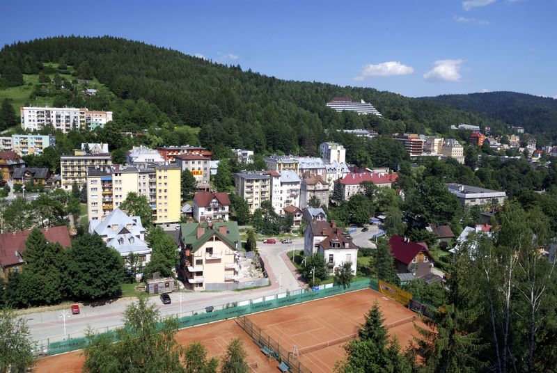 |
Krynica-Zdrój borough is located in the south-east part of Małopolskie voivodeship, in the district of Nowy Sącz, its north-east part is adjacent to the district of Gorlice. The east and south border of the borough is at the same time Poland’s border with Slovakia. There is an A-road and a few B-roads that lead to this SPA town.
Road 75 is the most frequented one, it leads from Nowy Sącz through Nawojowa, Łabowa and the picturesque Krzyżówka Pass.
 |
There is also a possibility to reach Krynica-Zdrój by road 971 that leads from Piwniczna through Żegiestów, Muszyna, along the beautifully winding bank of the Poprad river, which constitutes a natural frontier with Slovakia here. It is also possible to follow this route by means of railway line Tarnów-Krynica that allows passengers to admire beautiful scenery.
Road 981 is another possibility to reach Krynica, it leads from Grybów through such villages as: Kąclowa, Florynka, Polany, Berest and situated high Krzyżówka Pass.
Tourists from abroad can reach Krynica, arriving from Slovakia through the border crossing points in Muszynka and Leluchów.
 |
For those following tourist trails there is an access: going from Wysowa through Lackowa peak (997m. a.s.l.), Dzielec and Huzary – it is green trail; from Hańczowa through Izby and Mochnaczka – red trail; from Leluchów through Dubny peak (904m. a.s.l.) and Szalone – blue trail. Towering over the surroundings Jaworzyna Krynicka is an important junction point of all trails mentioned above and it is also a point from which western part of Beskid Sądecki (Radziejowa range) can be reached.